Explore the tools and platforms that help us study and protect Australia’s marine ecosystems. From imagery analysis to habitat mapping, these resources power our discoveries.
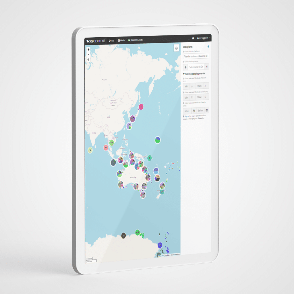
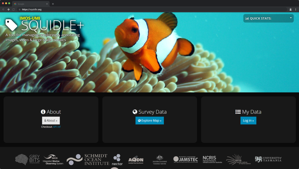
A powerful platform for managing, annotating, and analysing marine imagery.
Squidle+ allows us to collaborate efficiently, using advanced workflows and machine learning to process and share data.
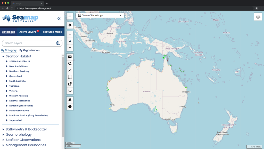
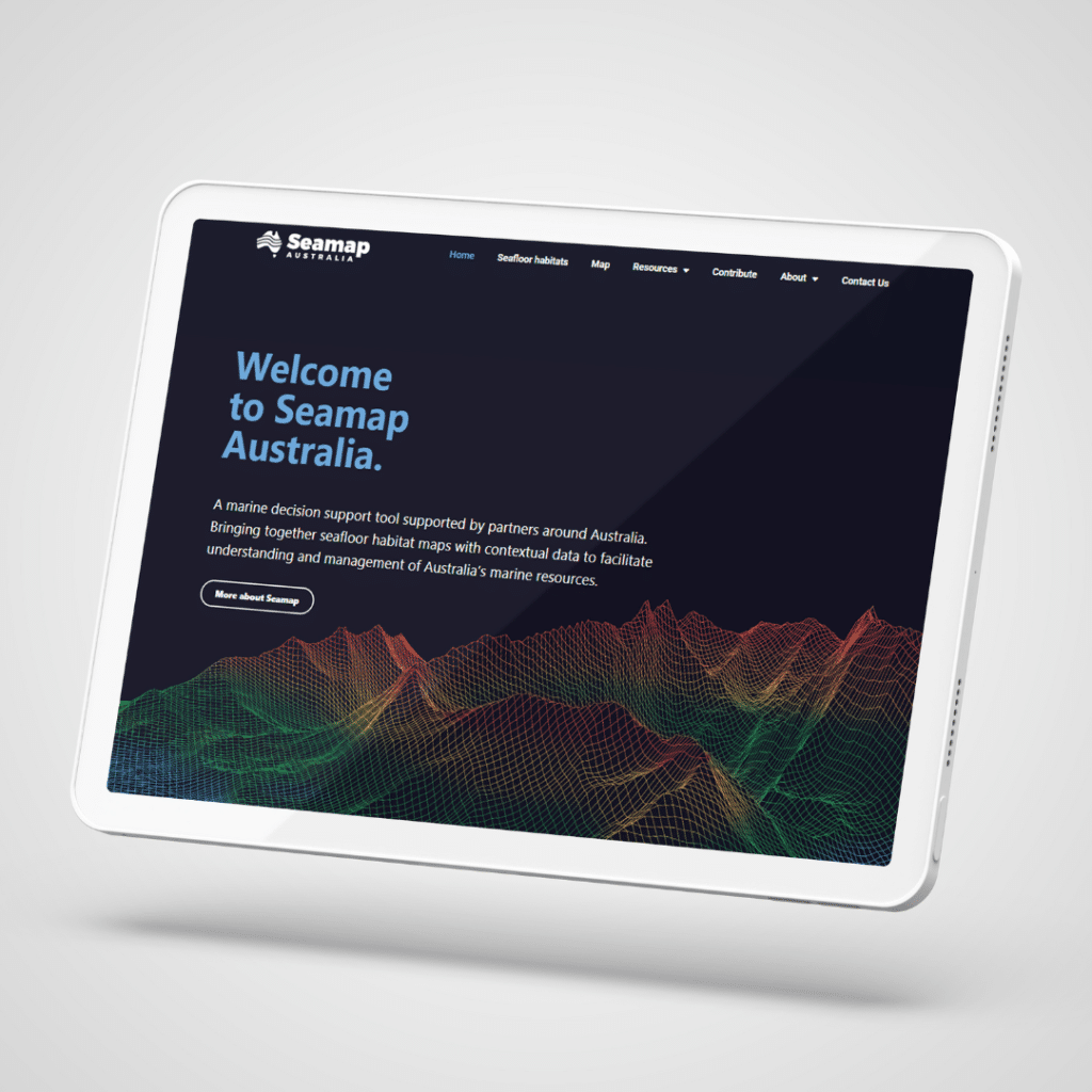
Australia’s seafloor, mapped
Seamap Australia
A national synthesis of seafloor habitat data.
Seamap provides a standardised GIS data layer, helping researchers and stakeholders visualise and understand benthic marine habitats across Australia.
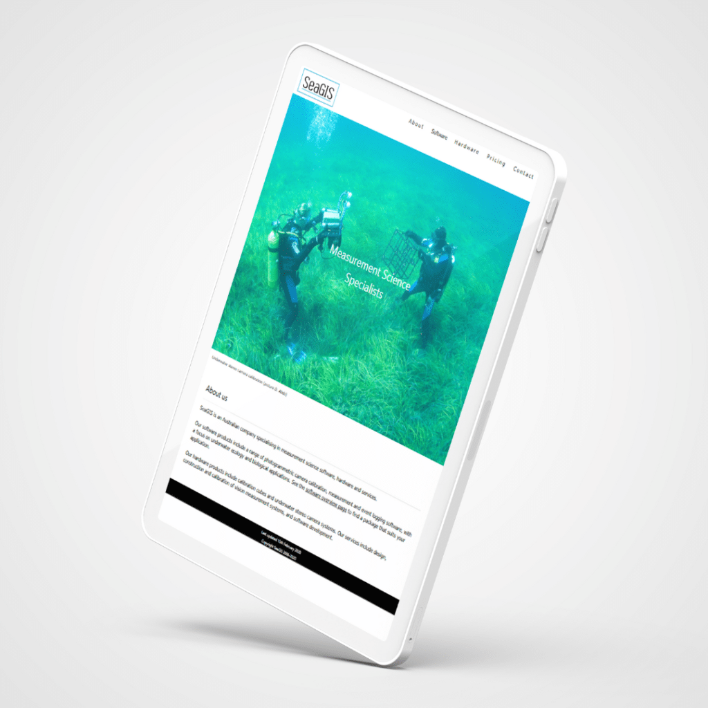
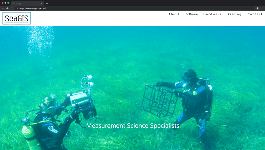
Precision underwater tools
SeaGIS
Specialists in photogrammetric software and underwater ecology tools.
SeaGIS supports our measurement and calibration processes, bringing precision and reliability to marine research.
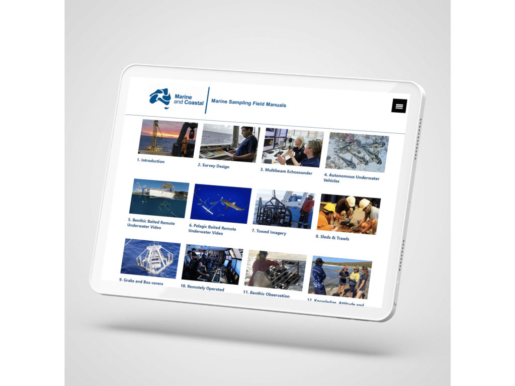
MaRINE SAMPLING METHODS
Marine and Coastal Hub
Field manuals for marine sampling to monitor Australian waters.
Through nation-wide collaboration, field manuals were developed to provide information on survey design, pre-survey planning, gear deployment and retrieval and data mangement.
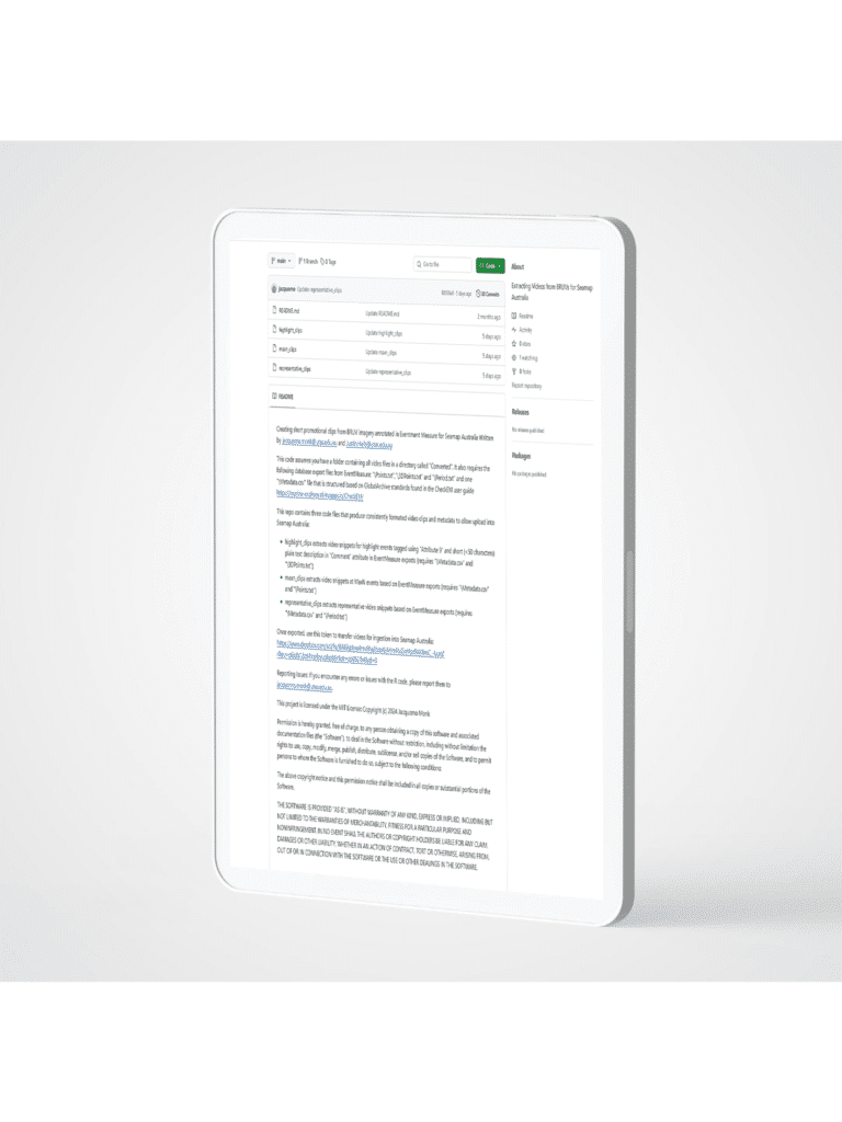
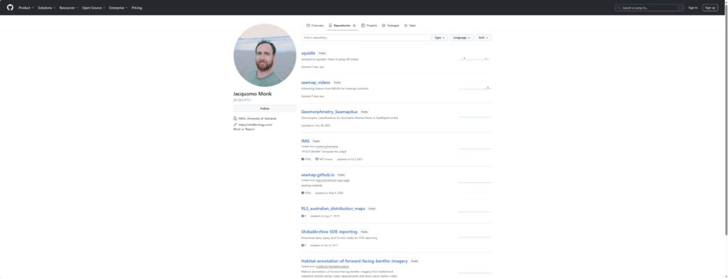
USER Friendly coding
Github
Curated repository of code created by SERG.
Allows researchers to stream line data management and maintain a standardised workflow from imagery collection to annotation.
Ready to see the ocean like never before?
Contact us
Explore how our technology is transforming marine research and driving conservation.